Image:Airway Heights in Spokane County.png
From Wikipedia, the free encyclopedia
No higher resolution available.
Airway_Heights_in_Spokane_County.png (736 × 500 pixels, file size: 5 KB, MIME type: image/png)
| | This is a file from the Wikimedia Commons. The description on its description page there is shown below.
|
 |
This image was moved to Wikimedia Commons from en.wikipedia using a bot script. All source information is still present. It requires review because CommonSense could not categorise the image during transfer. Additionally, there may be errors in any or all of the information fields; information on this image should not be considered reliable and the image should not be used until it has been reviewed and any needed corrections have been made. Once the review has been completed, this template should be removed. For details, see below. |
| Description |
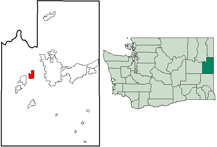
English: Map of en:Airway Heights, Washington within Spokane County, with county highlighted on en:Washington map. Created by Locke Cole from en:United States Census Bureau maps (with inspiration from Tradnor).
|
|---|---|
| Source |
Transfered from en.wikipedia |
| Date |
2006-03-26 (original upload date) |
| Author |
Original uploader was Locke Cole at en.wikipedia |
| Permission (Reusing this image) |
PD-USGOV-DOC-CENSUS. |
[edit] License information
| This image or other media is a work of a United States Census Bureau employee, taken or made during the course of an employee's official duties. As a work of the U.S. federal government, the image is in the public domain |  |
[edit] Original upload log
The original description page is/was here. All following user names refer to en.wikipedia.
- 2006-03-26 04:41 Locke Cole 736×500×8 (5514 bytes) Map of [[Airway Heights, Washington]] within [[Spokane County, Washington|Spokane County]], with county highlighted on [[Washington]] map. Created by [[User:Locke Cole|Locke Cole]] from [[United States Census Bureau]] maps (with inspiraton from [[User:Tr
File history
Click on a date/time to view the file as it appeared at that time.
| Date/Time | Dimensions | User | Comment | |
|---|---|---|---|---|
| current | 07:13, 5 December 2007 | 736×500 (5 KB) | File Upload Bot (Magnus Manske) | ( {{BotMoveToCommons|en.wikipedia}} {{Information |Description={{en|Map of en:Airway Heights, Washington within Spokane County, with county highlighted on en:Washington map. Created by [[:en:User:Locke Cole|Loc) |

