Image:Aerial view of Nauru.jpg
From Wikipedia, the free encyclopedia
Size of this preview: 800 × 594 pixels
Full resolution (1,600 × 1,187 pixels, file size: 401 KB, MIME type: image/jpeg)
| | This is a file from the Wikimedia Commons. The description on its description page there is shown below.
|
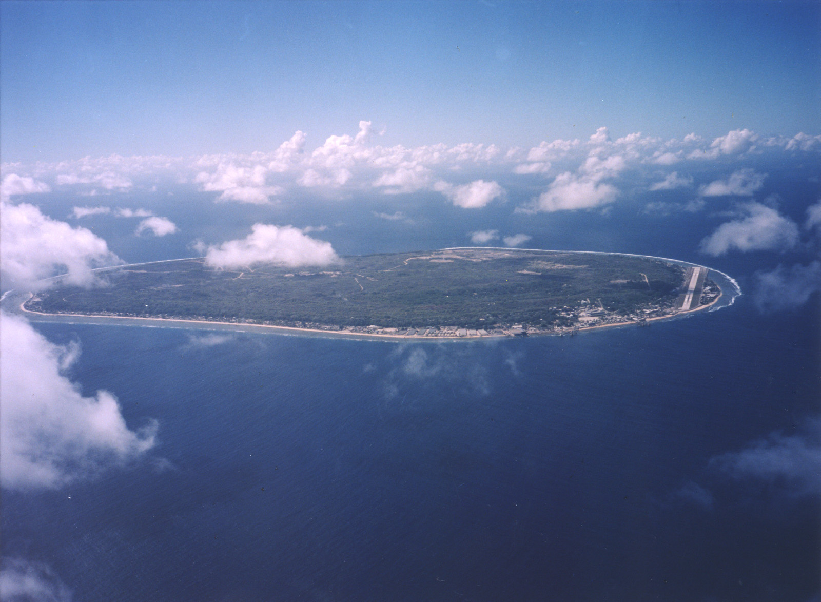
A limestone karst on Nauru Island as a result of the over-mining of phosphate.
Courtesy: U.S. Department of Energy's Atmospheric Radiation Measurement Program.
Source: [1] (http://www.arm.gov/)
| This photograph was produced by the Atmospheric Radiation Measurement Program.
Their site states:
Additionally, the ARM program is part of the U.S. Department of Energy, whose images are in the public domain. |
File history
Click on a date/time to view the file as it appeared at that time.
| Date/Time | Dimensions | User | Comment | |
|---|---|---|---|---|
| current | 02:13, 3 April 2007 | 1,600×1,187 (401 KB) | Indolences | (A limestone karst on Nauru Island as a result of the over-mining of phosphate. ''Courtesy: U.S. Department of Energy's Atmospheric Radiation Measurement Program.'' Source: [http://images.arm.gov/armimages.nsf/by+id/TENG-5JGSKP] (http://www.arm.gov/) {{) |
File links
The following pages on the English Wikipedia link to this file (pages on other projects are not listed):
Metadata
This file contains additional information, probably added from the digital camera or scanner used to create or digitize it. If the file has been modified from its original state, some details may not fully reflect the modified file.
| Width | 1600 |
|---|---|
| Height | 1187 |
| Compression scheme | Uncompressed |
| Pixel composition | RGB |
| Orientation | Normal |
| Number of components | 3 |
| Horizontal resolution | 200 dpi |
| Vertical resolution | 200 dpi |
| Data arrangement | chunky format |
| Software used | Adobe Photoshop CS2 Windows |
| File change date and time | 19:05, 2 April 2007 |
| Color space | 65535 |

