Image:1855 Map of Guelph.jpg
From Wikipedia, the free encyclopedia
No higher resolution available.
1855_Map_of_Guelph.jpg (529 × 393 pixels, file size: 57 KB, MIME type: image/jpeg)
| | This is a file from the Wikimedia Commons. The description on its description page there is shown below.
|
| Description |
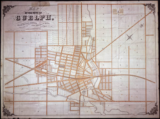
"Map of the Town of Guelph, from recent surveys and original maps" |
|||||
|---|---|---|---|---|---|---|
| Source |
|
|||||
| Date |
1855 |
|||||
| Author |
"Published by J. Smith, Guelph Drawn by Fred. J. Chadwick Lithographed by John Ellis, Toronto" |
|||||
| Permission (Reusing this image) |
|

File history
Click on a date/time to view the file as it appeared at that time.
| Date/Time | Dimensions | User | Comment | |
|---|---|---|---|---|
| current | 18:22, 17 March 2008 | 529×393 (57 KB) | Padraic | ({{Information |Description="Map of the Town of Guelph, from recent surveys and original maps" |Source={{ONT|C 295-1-56-0-2}} |Date=1855 |Author="Published by J. Smith, Guelph Drawn by Fred. J. Chadwick Lithographed by John Ellis, Toronto" |Permission={{PD) |
File links
The following pages on the English Wikipedia link to this file (pages on other projects are not listed):

