Image:USA Mt Shasta pano CA.jpg
From Wikipedia, the free encyclopedia
Size of this preview: 800 × 298 pixels
Full resolution (5,540 × 2,066 pixels, file size: 4.28 MB, MIME type: image/jpeg)
| | This is a file from the Wikimedia Commons. The description on its description page there is shown below.
|
[edit] Summary
| Camera location | This and other geocoded Commons images: | (Info) |
|---|
| Description |
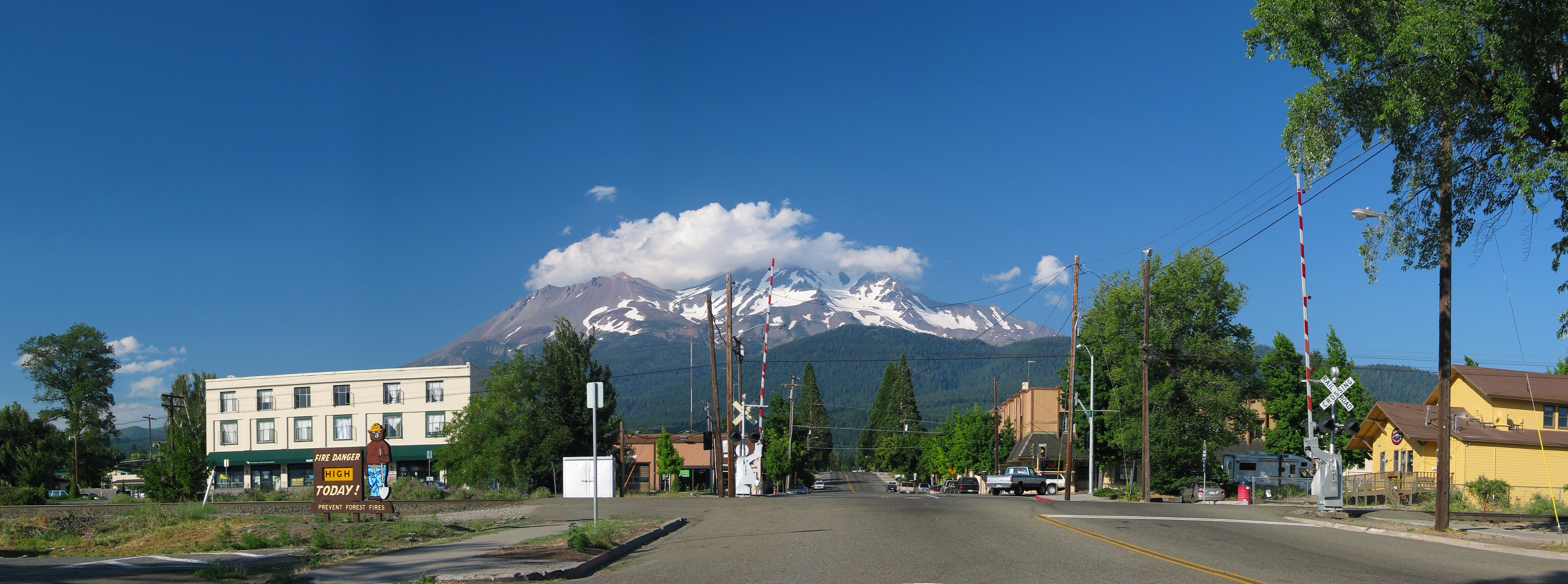
English: Mount Shasta as seen from the town with the same name. California, USA.
Français : Le Mont Shasta vu du village du même nom, en Californie (États-Unis).
|
|---|---|
| Source |
Own work |
| Date |
July 29th 2006 |
| Author | |
| Permission (Reusing this image) |
See license |
[edit] Licensing
| This file is licensed under the Creative Commons Attribution ShareAlike 2.5 License. In short: you are free to share and make derivative works of the file under the conditions that you appropriately attribute it, and that you distribute it only under a license identical to this one. Official license |
File history
Click on a date/time to view the file as it appeared at that time.
| Date/Time | Dimensions | User | Comment | |
|---|---|---|---|---|
| current | 17:06, 1 August 2006 | 5,540×2,066 (4.28 MB) | Dschwen | ({{Information |Description=Mount Shasta as seen from the town with the same name. |Source=Own work |Date=July 29th 2006 |Author=Daniel Schwen |Permission=See license |other_versions= }}) |
File links
The following pages on the English Wikipedia link to this file (pages on other projects are not listed):

