Image:USACE Eufaula Lake and Dam Oklahoma.jpg
From Wikipedia, the free encyclopedia
Size of this preview: 478 × 599 pixels
Full resolution (1,197 × 1,500 pixels, file size: 769 KB, MIME type: image/jpeg)
| | This is a file from the Wikimedia Commons. The description on its description page there is shown below.
|
| Description |
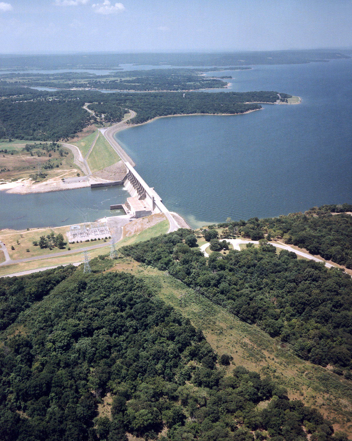
English: Aerial view of Lake Eufaula and Dam on the Canadian River in the U.S. state of Oklahoma. The lake is located in McIntosh, Pittsburg, and Haskell Counties. The lake is located approximately 65 miles (104 km) south-southeast of the city of Tulsa. The U.S. Army Corps of Engineers constructed the dam for flood control and water supply.
Coordinates: 35°18′23.69″N, 95°21′30.32″W |
|||
|---|---|---|---|---|
| Source |
U.S. Army Corps of Engineers Digital Visual Library |
|||
| Date |
1999-03-03 (Caveat: Dates provided by U.S. Army Corps of Engineers Digital Visual Library are not reliable and may be wrong.) |
|||
| Author |
U.S. Army Corps of Engineers, photographer not specified or unknown |
|||
| Permission (Reusing this image) |
|
File history
Click on a date/time to view the file as it appeared at that time.
| Date/Time | Dimensions | User | Comment | |
|---|---|---|---|---|
| current | 03:10, 15 May 2007 | 1,197×1,500 (769 KB) | DanMS | ({{Information | Description = {{en|Aerial view of Lake Eufaula and Dam on the Canadian River in the U.S. state of Oklahoma. The lake is located in McIntosh, Pittsburg, and Haskell Counties. The lake is located approximately 65 miles (104 km) south-sout) |
File links
The following pages on the English Wikipedia link to this file (pages on other projects are not listed):

